Storm Chase Details
Miles Logged: 475
States Chased: KS
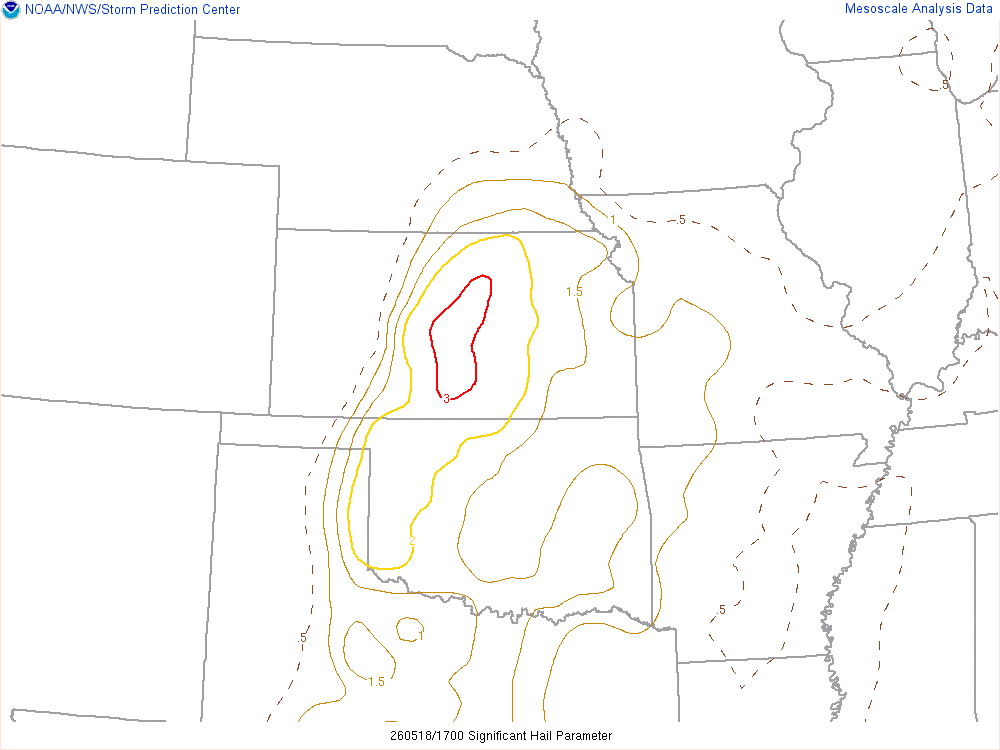
Largest Hail Encountered: 1.00 in.
Highest Wind Encountered: 65 MPH
Severe Risks: SPC Outlooks
Severe Reports: Storm Reports
After chasing the previous day in Nebraska, I ended up in Salina for the night and started off the morning there. Luckily. I wouldn’t need to go far it seemed.
I had work to attend to in the morning, then migrated to my vehicle late morning. Hanging around Salina, I got lunch and decided to stay put for now until storms started firing.

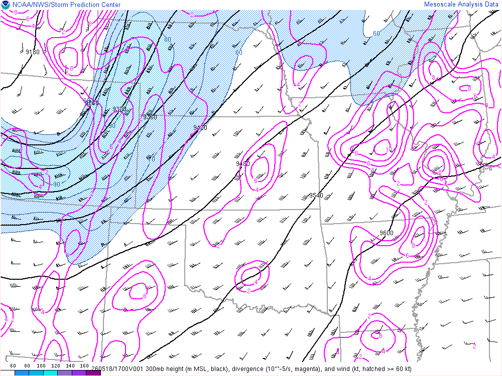
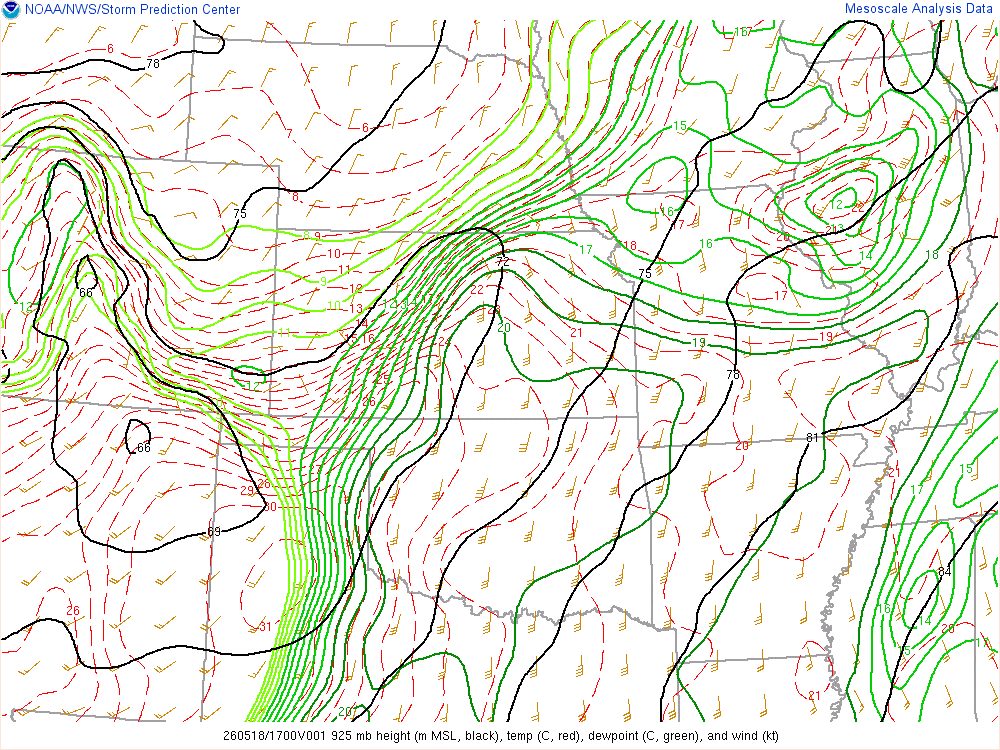
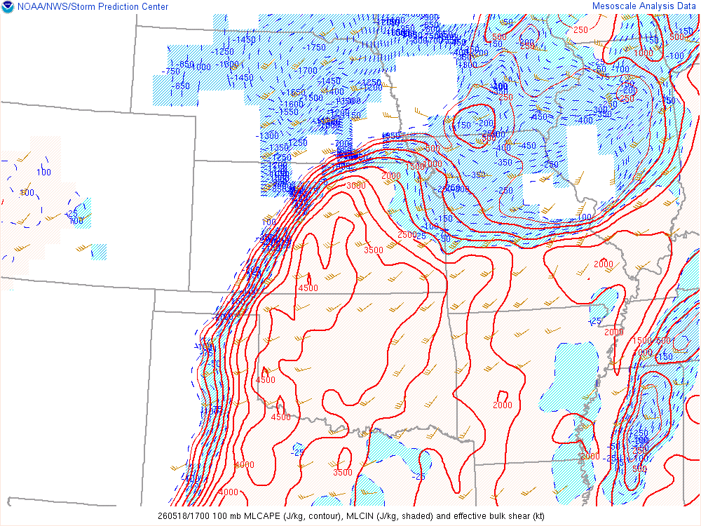
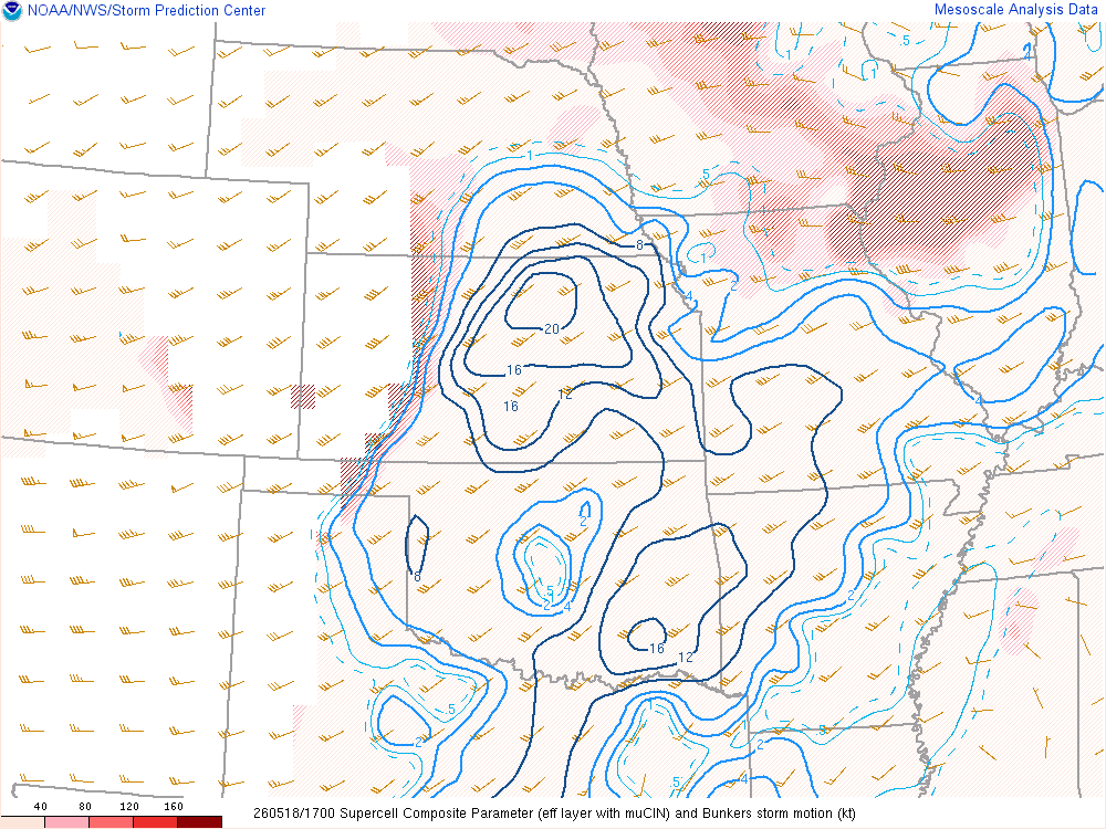
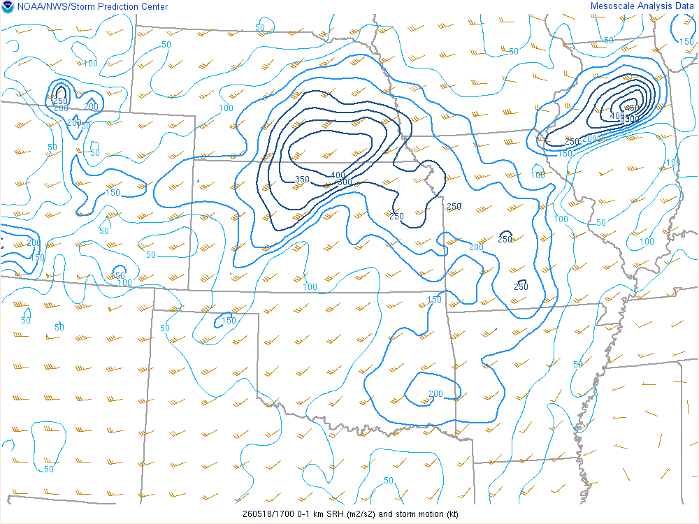
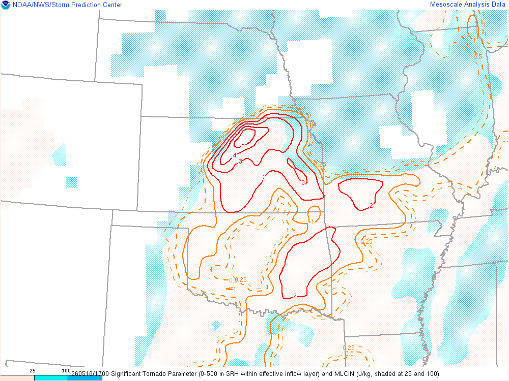
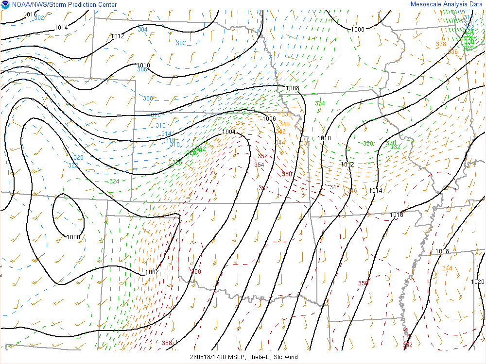
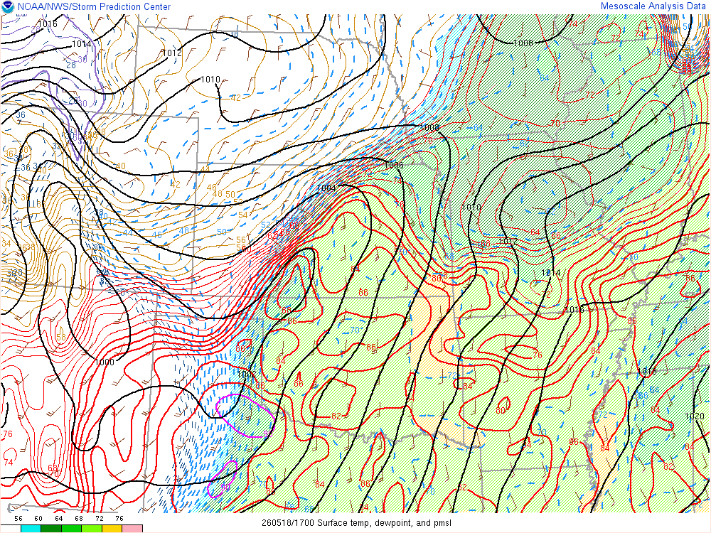
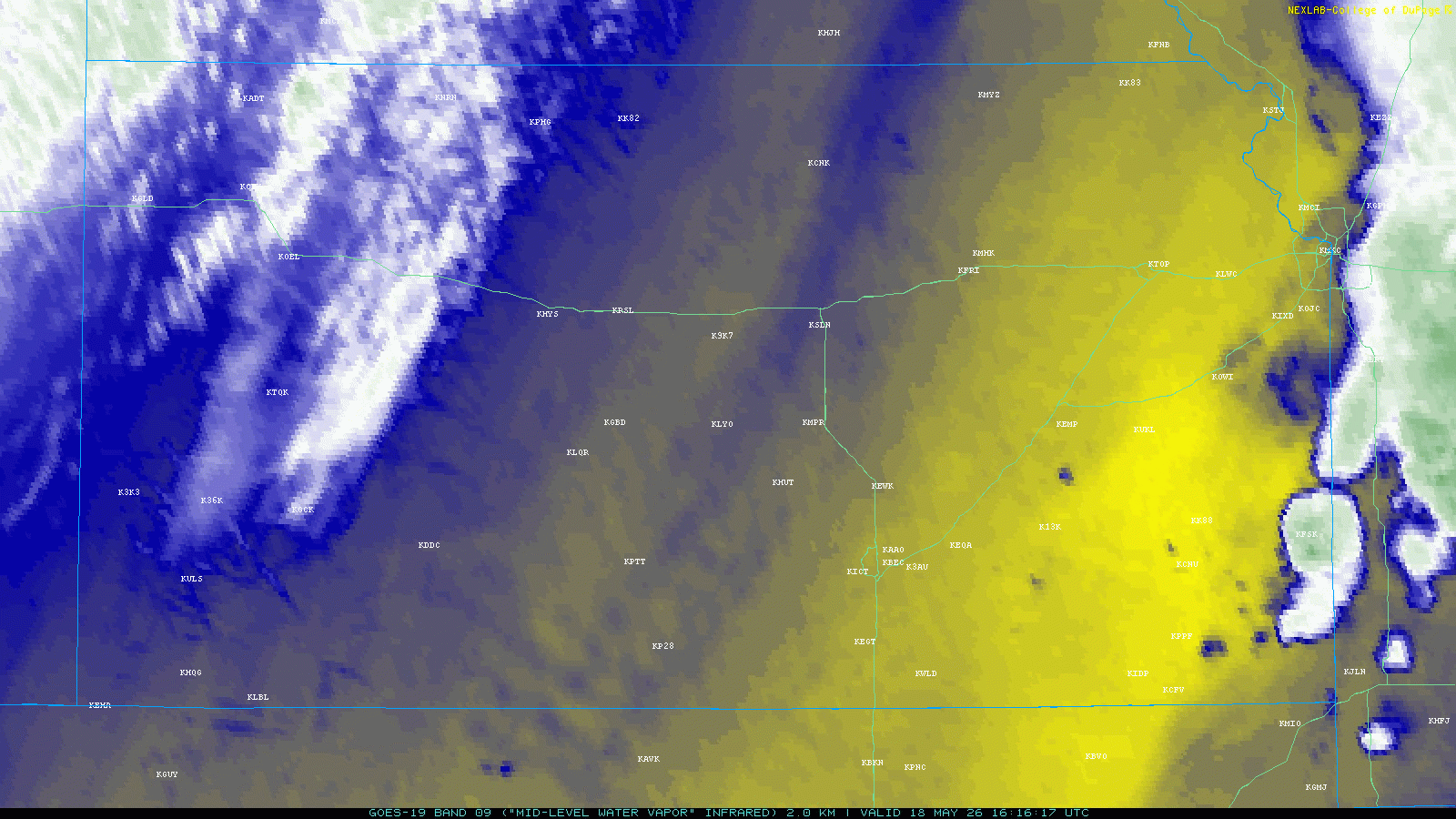
Morning SPC Mesoanalysis – 11am CDT/16Z
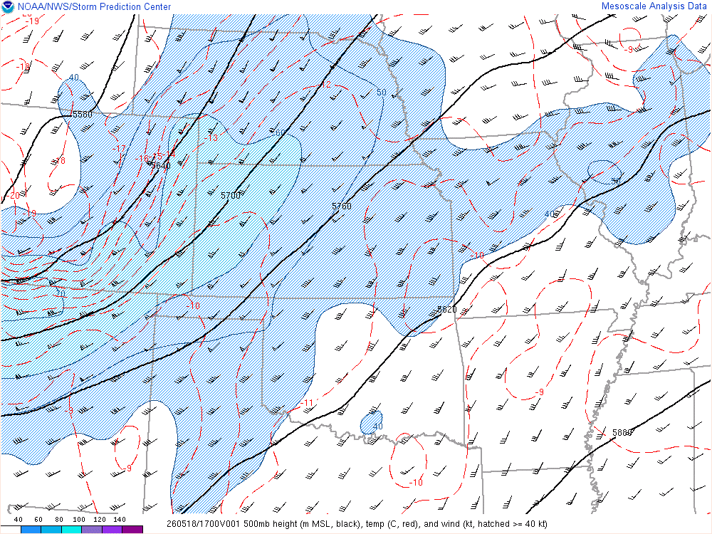
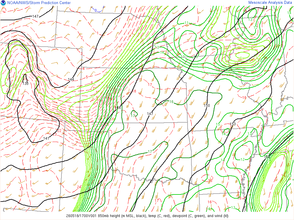
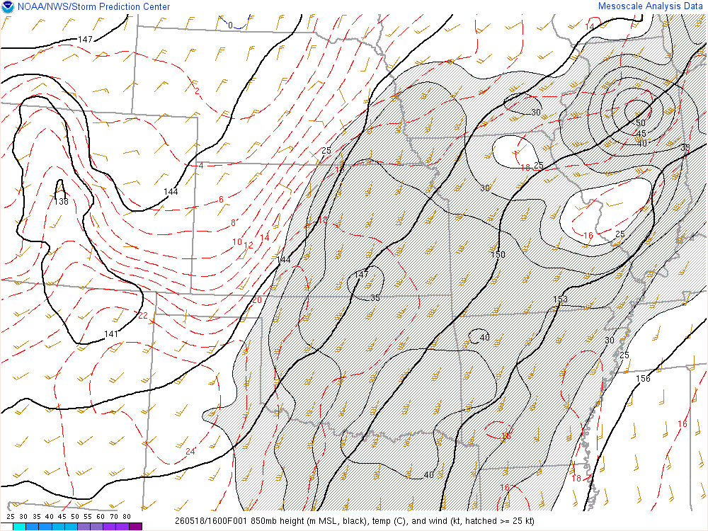
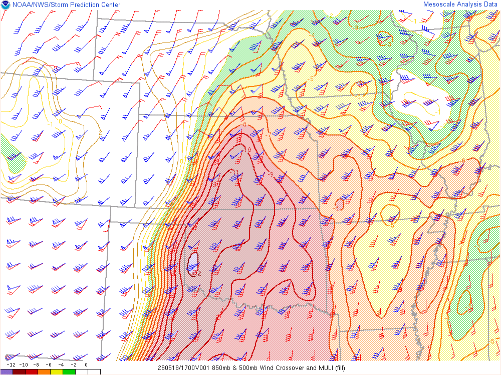
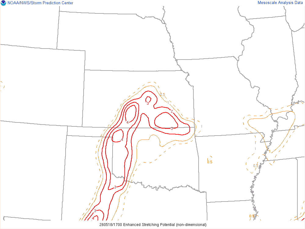
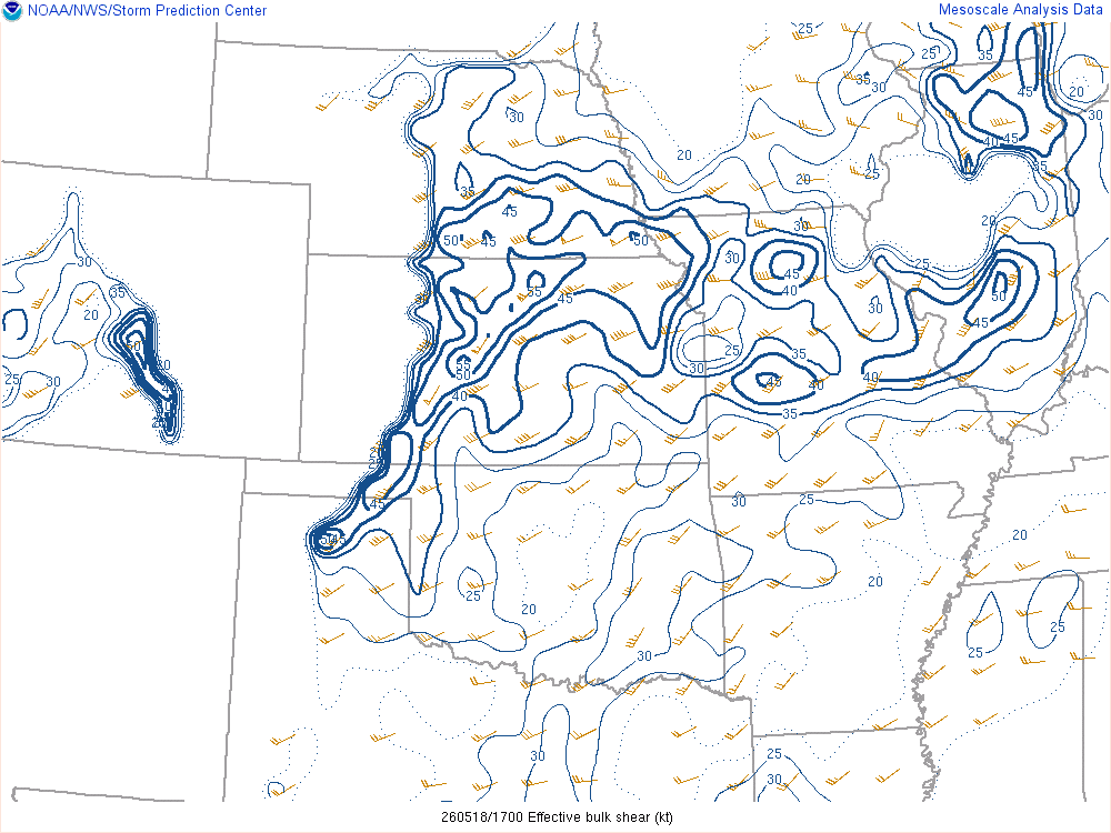
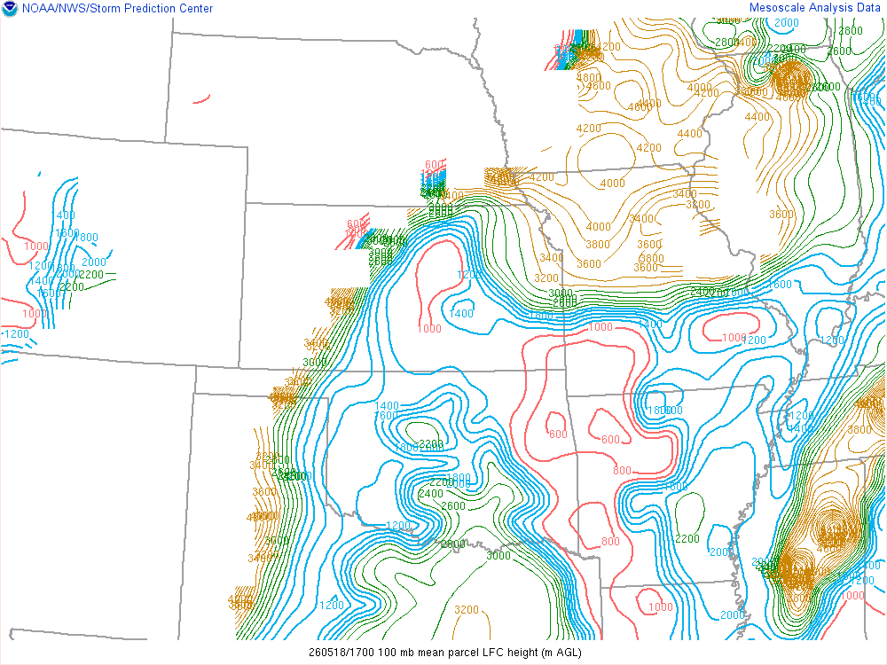
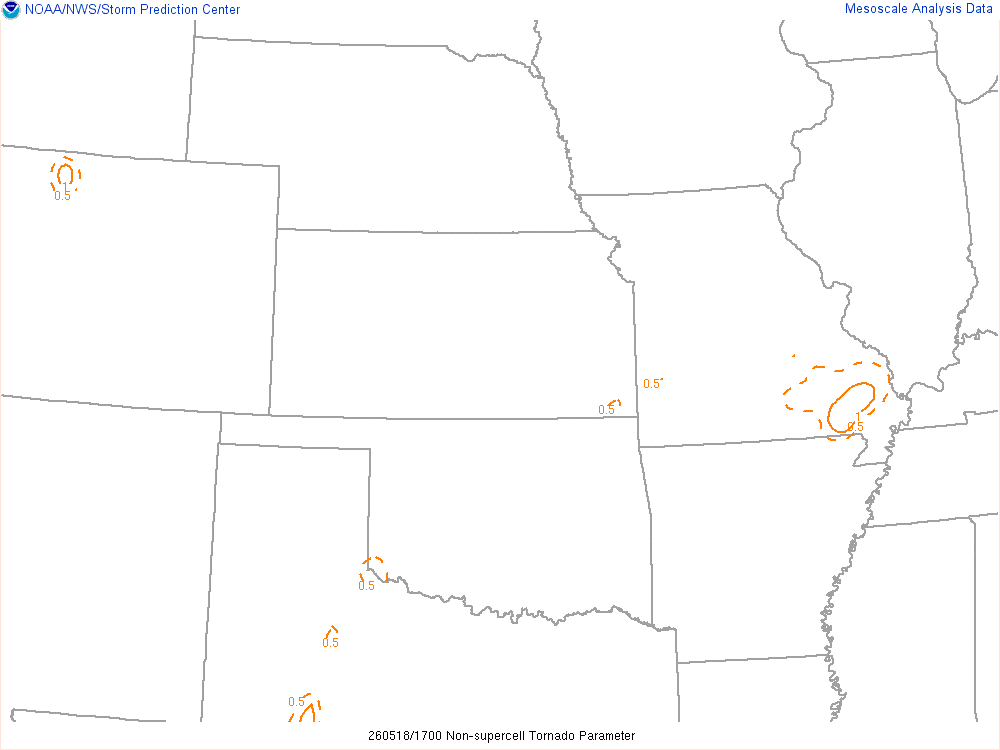
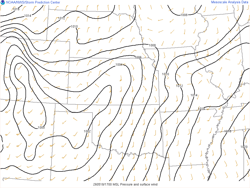
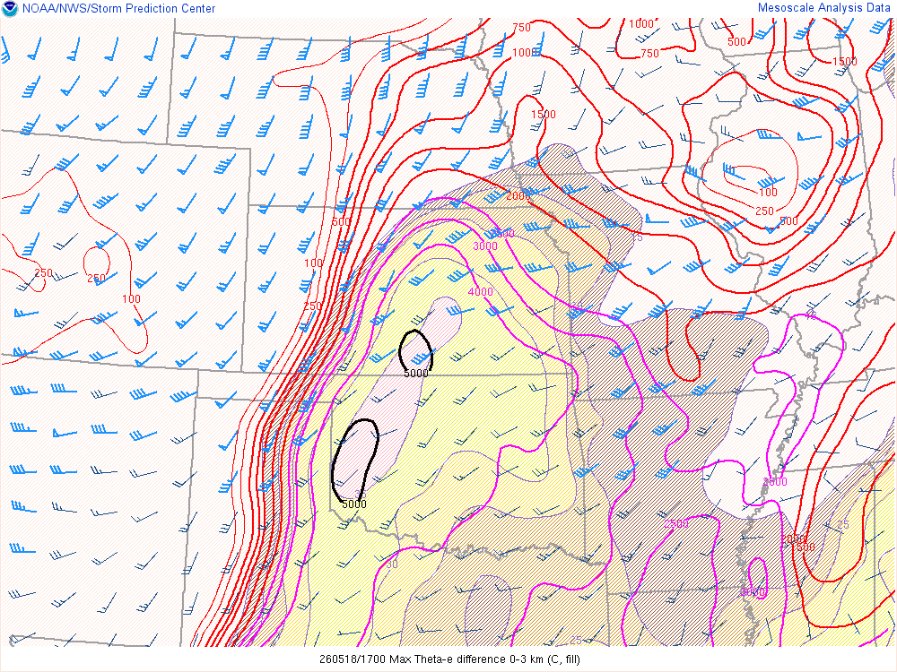
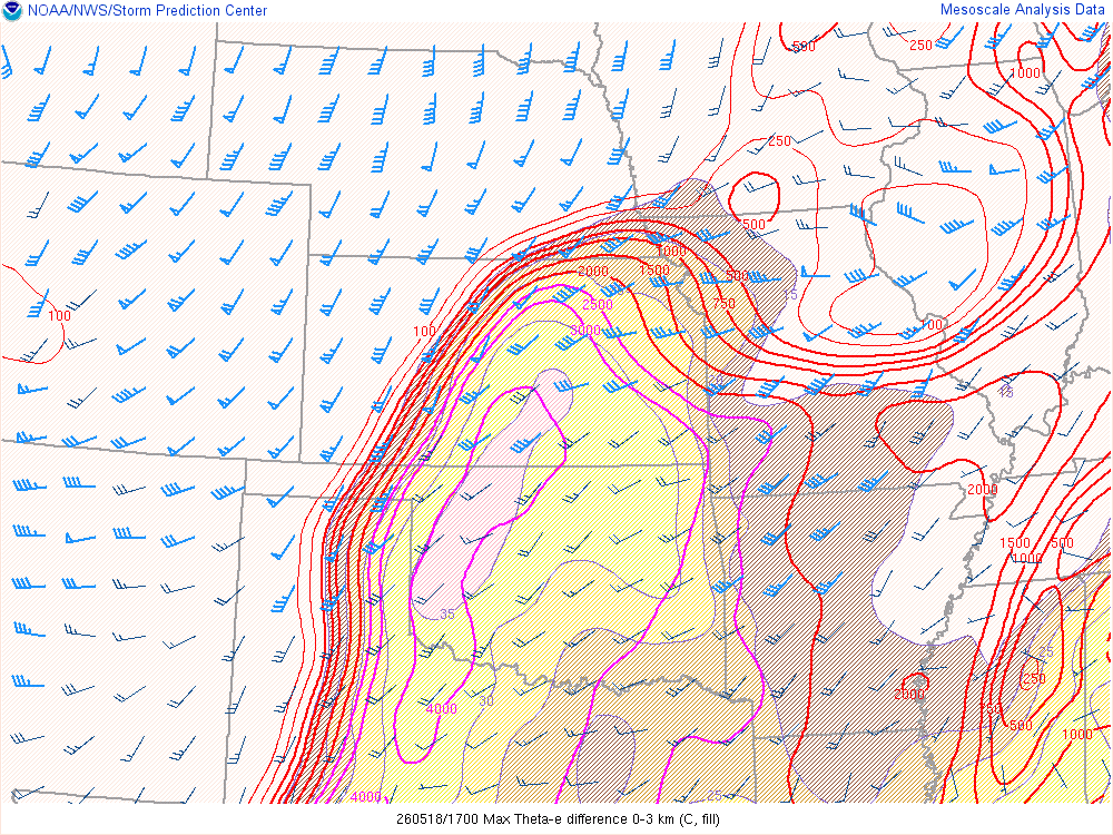
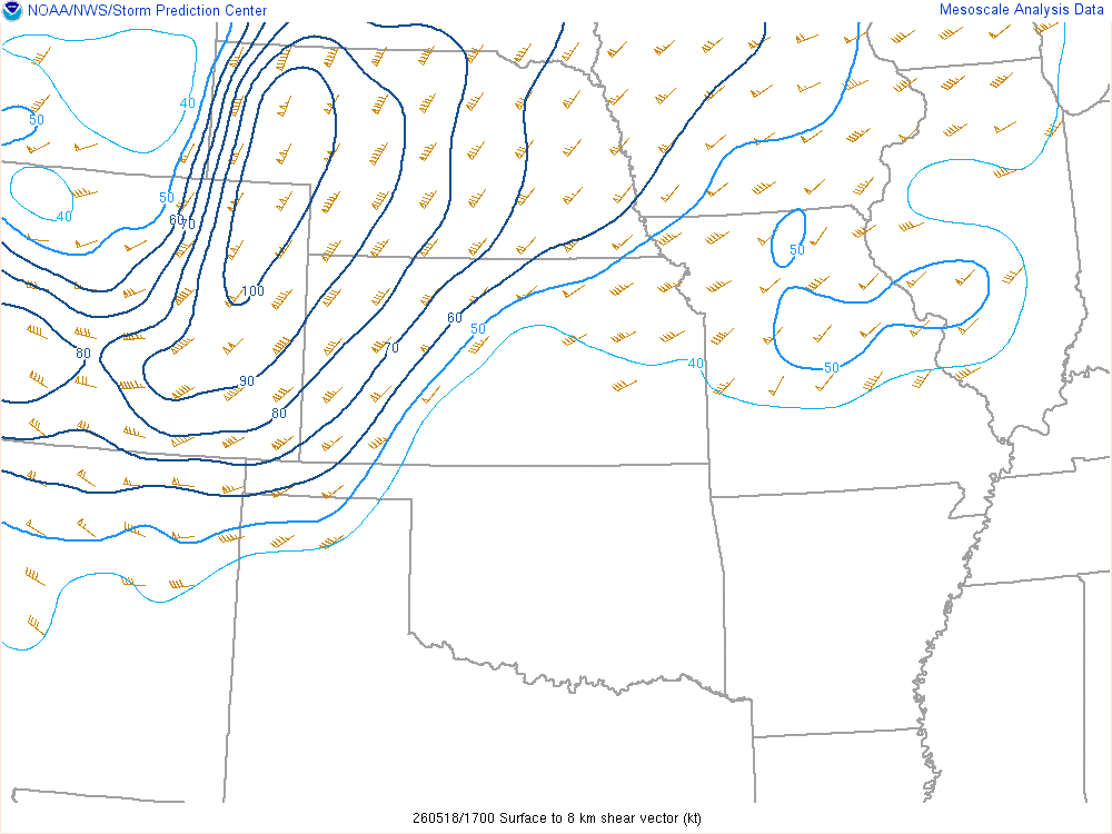
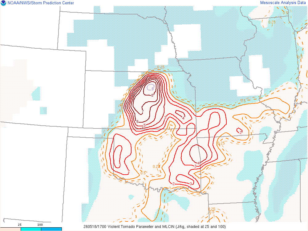
The morning mesoanalysis was already showing a largely moist and unstable air mass in place, with noted increase in Violent Tornado Parameter (VTP) just north of Salina. The 300mb winds seemed to be holding back from the main target area, something I noted on the NAM run from a few days prior.
I believe that would tend to be an issue most of the day – Questionable venting which allowed the cold air to rush underneath the storms from the impending cold front.


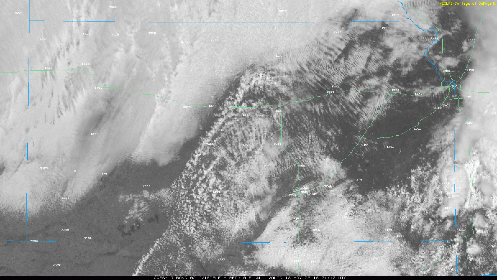
Visible Satellite and Water Vapor
As these storms started to fire, I sat just north of I-70 on US-81 near the first exit. I didn’t want go screaming north if that cold front was going to crash into those storms. It did seem like there was a slowing of the cold air as the afternoon heated up.
Storm near Concordia
Eventually the storm near Concordia started to take shape, so I took the short drive north. I meandered the back roads a few miles off 81, eventually getting under the storm near Highway 9. Cold air. Big problem. I realized instead of the wall cloud I thought was developing, it was actually a shelf cloud. Cold air was rushing out from underneath this storm.
Dropping south to Minneapolis storm
I headed south on 81 back towards Minneapolis. I took the exit for US 24 and started heading east towards updrafts that were exploding to my east. I would go about 5 miles before watching them start to wither away. Back to 81, i found myself coming into Minneapolis a short time later. I found a CENEX station along Limestone road and topped off my tank before heading further west then north to Mulberry road.
I got under the tornado warned storm with a gigantic wall cloud out near Ada. Again, the cold air started blowing me in the face and my car thermometer was showing 71ºF. The crowds were insane, so I headed back east on Mulberry then to the Limestone road I came in on. I jumped into the parade northbound on US81 and drove again under the wall cloud as it crossed US81. The wall cloud had that cow-catcher look to it, with no rotation visible from my point. It was again cold underneath, according to my vehicle 68ºF. Shortly after passing under the wall cloud, I pulled off on the south bound lane side and contemplated my next move.
Next Tornado Warned Storm
I dropped south as the hordes continued north on 81 and east on 24. Social media was full of photos of what a circus that ended up becoming, so I am happy with my decision to bail south. The next storm became tornado warned as it approached US81, so I stuck with it from Highway 18 north to Limestone Road, and then east a number of miles. The storm was not showing any real good signs of intensification, so I eventually started dropping south to Salina.
Caseys in Salina
I made it to Casey’s in Salina and took a break. Grabbed some pizza and went and setup a couple miles south of Salina. Again, the storm became tornado warned, but cold air came rushing out from underneath. I’d drop further south on I-135 towards Wichita
Dropping South to Oklahoma
Eventually near McPherson I decided to just start dropping south to Oklahoma. The cold air was quickly overtaking the storms and it became reasonably evident to me that this would not be the prolific tornado producer we had envisioned.
As I came back into the Oklahoma City metro, the sun was still up. I arrived home around 8, just in time for the OKC Thunder game. What a waste of a chase day.


